प्रत्येक वृक्षाची एक गोष्ट आहे mapping every tree of our village
ग्रामपंचायत मान्याचीवाडी येथील प्रत्येक वृक्षाची शास्त्रीय नोंद, स्थान आणि आरोग्य — एक खुला, पारदर्शी आणि सजीव वारसा-नकाशा.
Village-wide census progress
Target: 2,000 trees documented
A living record of our green heritage
Combining modern GIS technology with grassroots participation to protect every tree in our village.
सुस्पष्ट नकाशा
Interactive GPS-precise map with satellite view, filter by species, ward, or tree health.
प्रजाती-निहाय
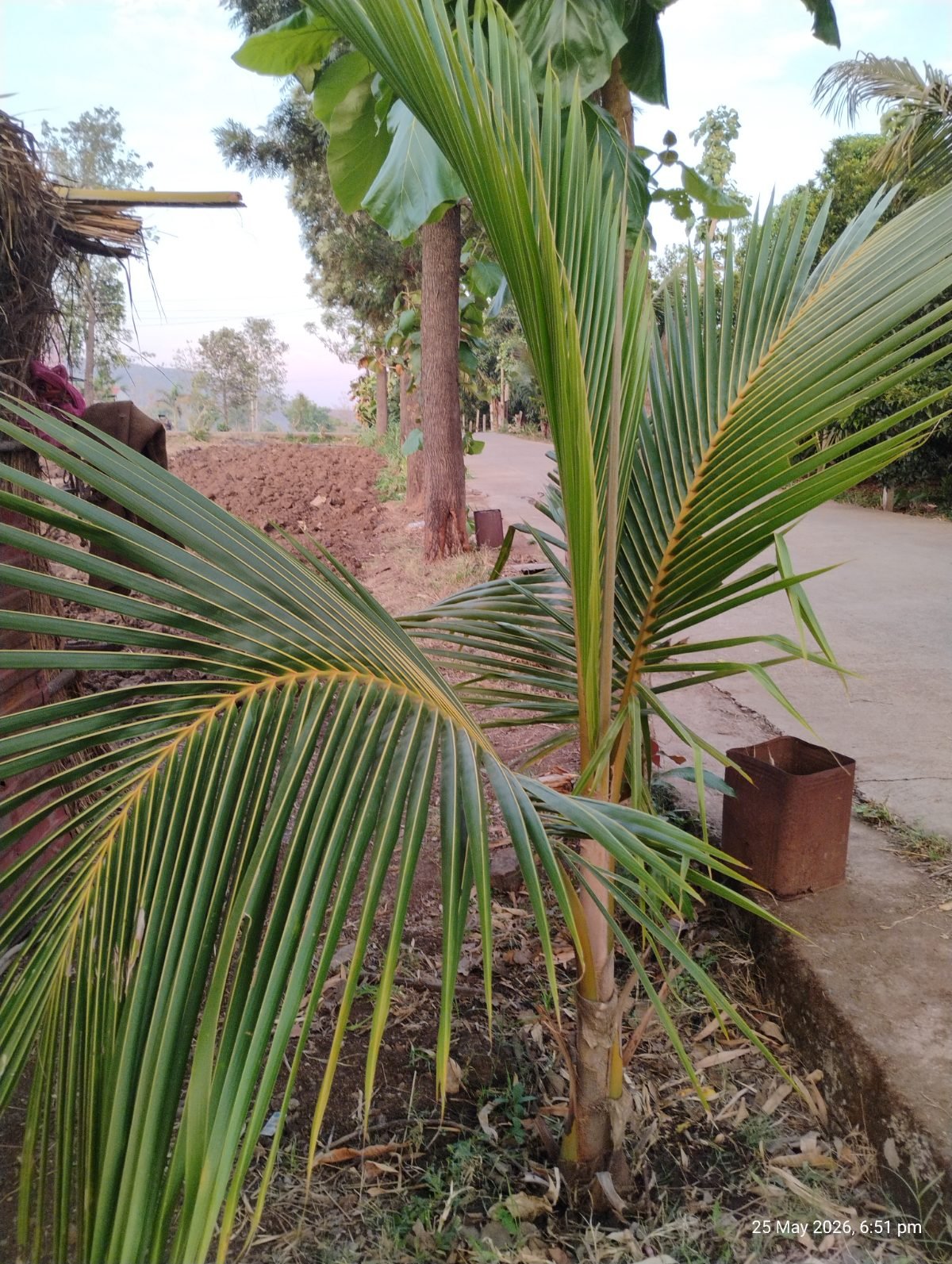
50+ local tree species documented in Marathi, English, and scientific names with detailed information.
वारसा वृक्ष
Special recognition and protection for heritage trees — our oldest living monuments.
पारदर्शी आकडेवारी
Open statistics on tree density, species diversity, and conservation health — accessible to all.
मोबाईल-फ्रेंडली
Works beautifully on any device — phone, tablet, or desktop — with full Marathi support.
सहभागी शासन
Built for and by the village. Every citizen can explore, learn, and take ownership.
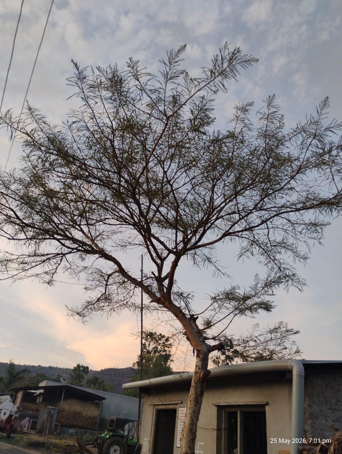
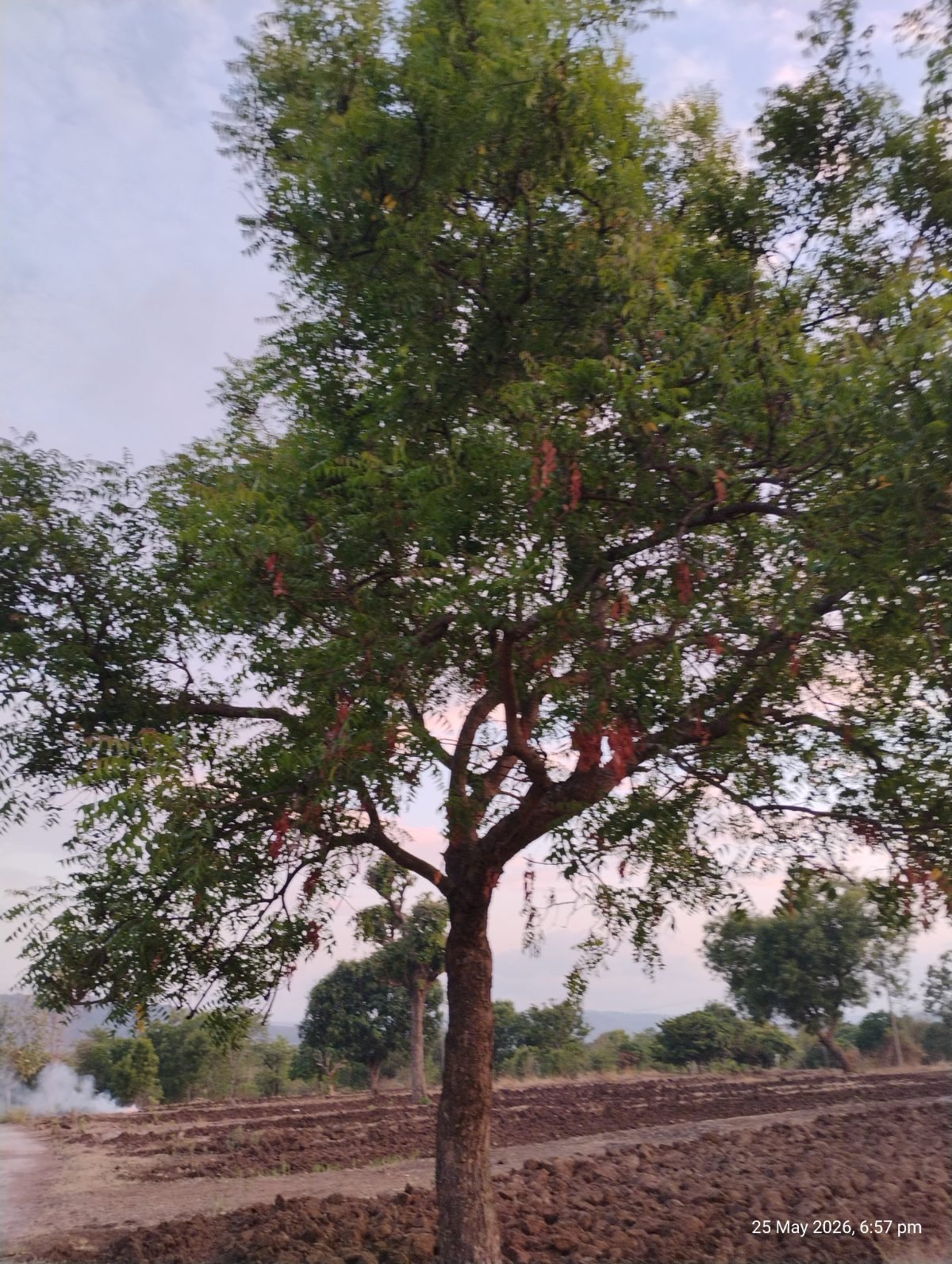
Heritage Trees
Ancient, sacred, and culturally significant trees that define the spirit of our village.
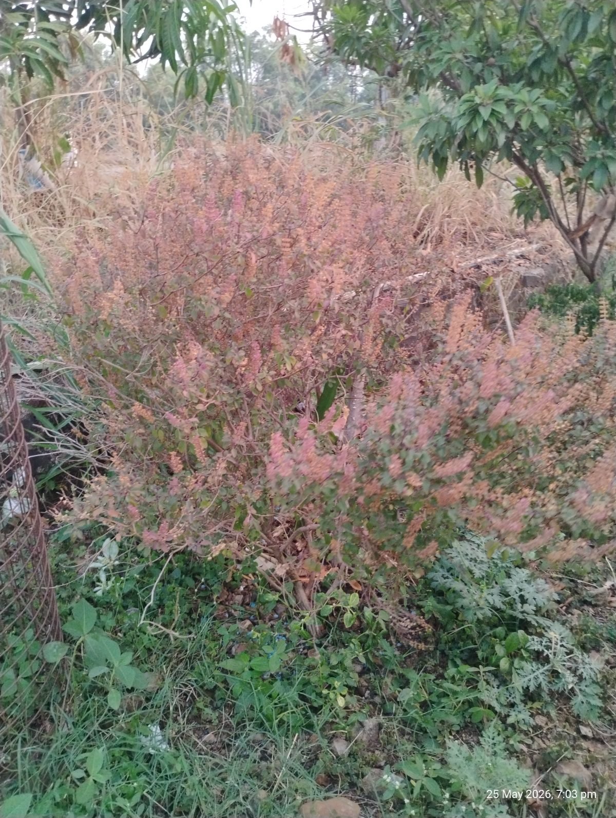
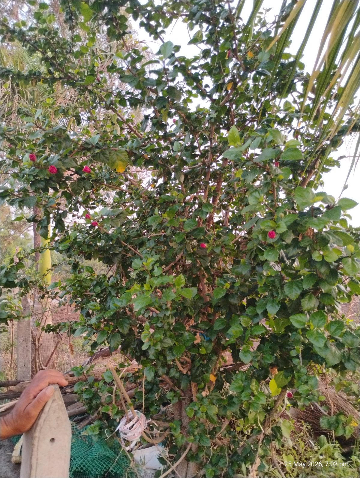

Most common trees in our village
Tap any species to see every documented tree of that kind.
Every tree deserves a voice
Know a tree that should be on our map? Spot one that needs attention? Help us document Manyachiwadi's green heritage.
Get Involved